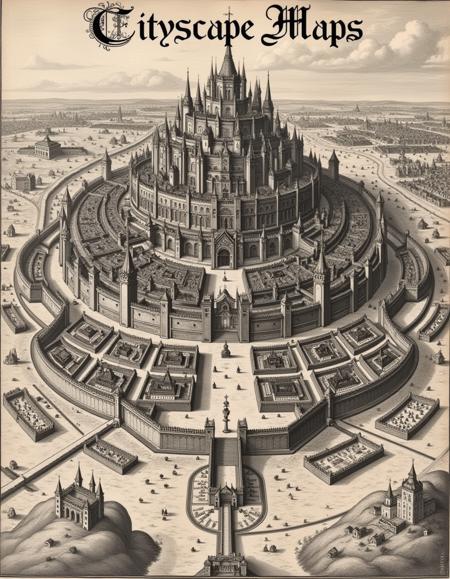
I love old maps. Maybe it's the artistic qualities, maybe it's the history, or maybe it's just because I spent a good amount of my childhood playing Dungeons and Dragons—but old and highly detailed maps fascinated me. So, I decided to bring some of that nostalgia to Flux with Cityscapes: Maps and Sketches. Rather than versions representing successive quality upgrades, I’ll explore a new era, medium, or style of map or urban cityscape art, training a LoRA on as many authentic examples as possible.
Baroque Cartography style (v1.2)
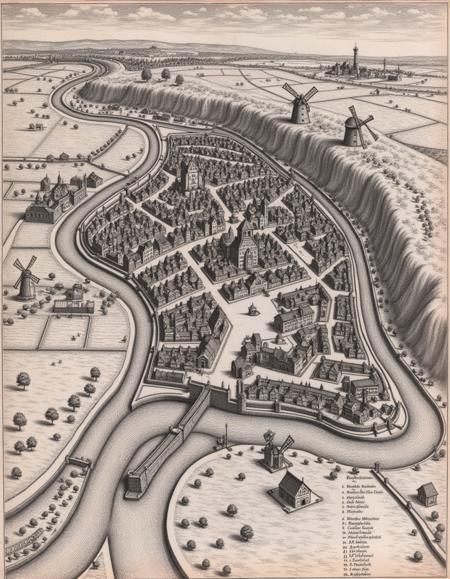
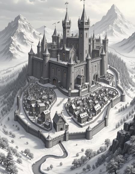
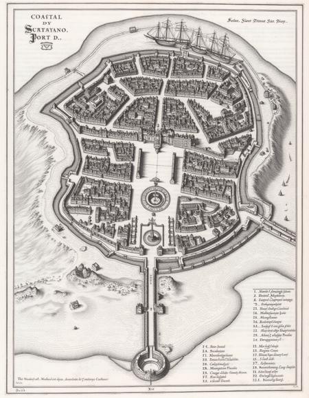
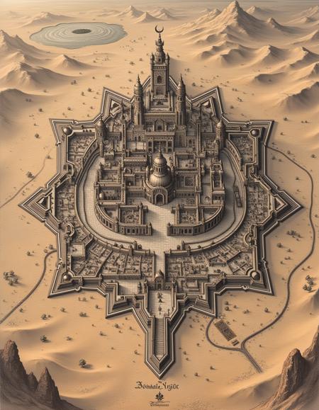
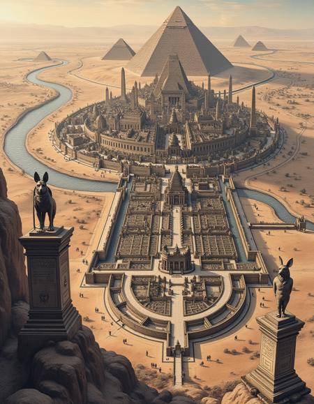
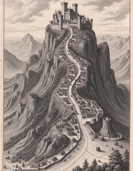
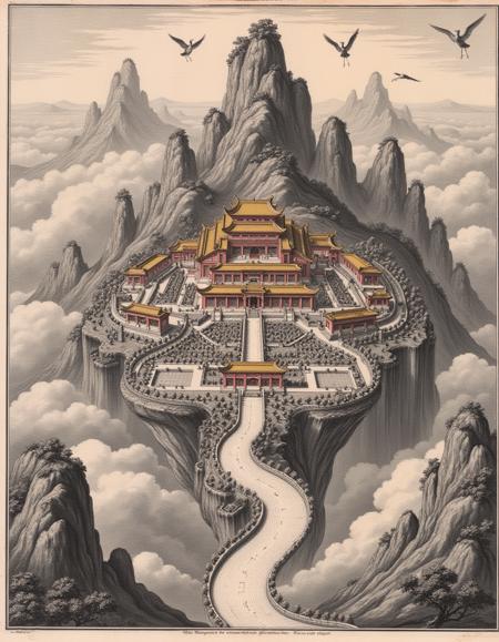
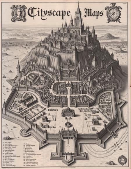
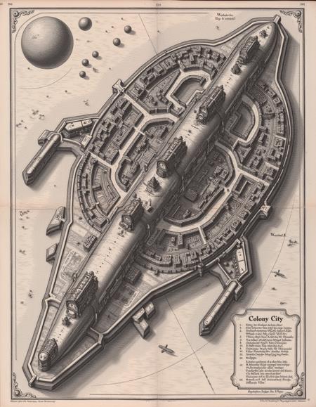
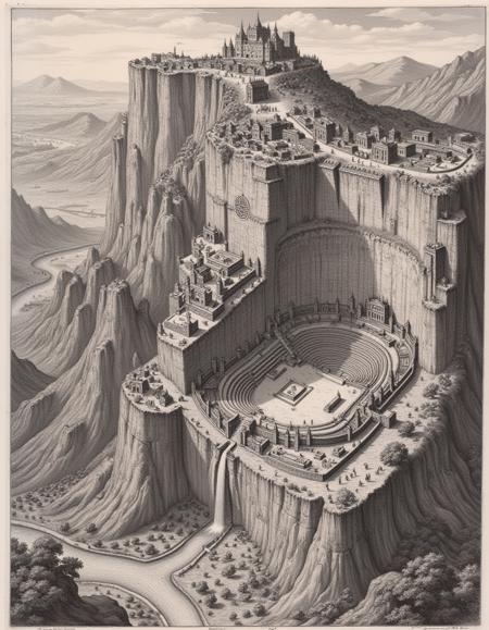
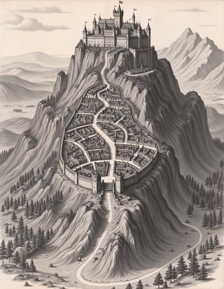
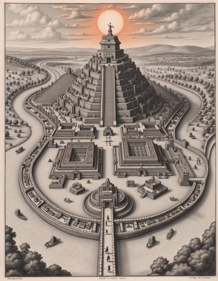
The version of Cityscapes celebrates the baroque cartography style common in the 16th and 17th centuries. These maps were as much a work of art as they were tools. The Baroque cartography cityscape style is trained on original works by the Swiss engraver Matthäus Merian the Elder. The images are from the 1600s and included in the Topographia Bavariae, Topographia Provinciarum Austriacarum, or Topographia Germaniae. Therefore, details on generated maps will reflect urban planning and design elements common in 17th-century European cities in Germany and Austria. Cities often include walls with distinct angular bastions, fortified gates, radial layouts, and defensive citadels. Most cities were surrounded by farmland, close to rivers and other waterways, and included large areas dedicated to market squares, churches, cathedrals, and administrative buildings. These elements will be more common when using this style and will be common elements used by the model if you do not give it more specific prompting.
Usage
To use the 1.2 version of the LoRA, use the following settings:
-
Trigger word: a dictymp map... and then describe the city.
-
After the trigger phrase, the model should expect the city's name, followed by its layout and features, surrounding areas, and map elements. For example: "The city of Munich. The city features narrow winding streets, a central marketplace, prominent landmarks like cathedrals, and fortified walls with gates and towers. The city is surrounded by rivers, farmland, and nearby villages. The map features a detailed legend, a coat of arms, and a compass rose."
-
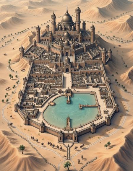
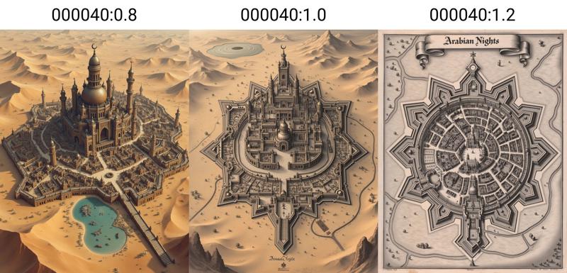
Lora Strength: Using the LoRA at full strength (1.0) will give you a high-oblique cityscape or a bird's-eye top-down map. A Higher strength (1.2) will create more monochrome 2D city planning engraving maps, while a lower strength (0.8) will produce more 3D isometric sketched maps with color. An example is included below.
描述:
训练词语: a dictymp map
名称: city-maps_v12-000040.safetensors
大小 (KB): 154905
类型: Model
Pickle 扫描结果: Success
Pickle 扫描信息: No Pickle imports
病毒扫描结果: Success