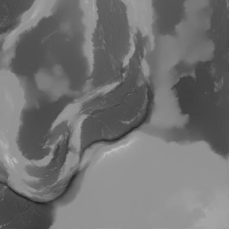
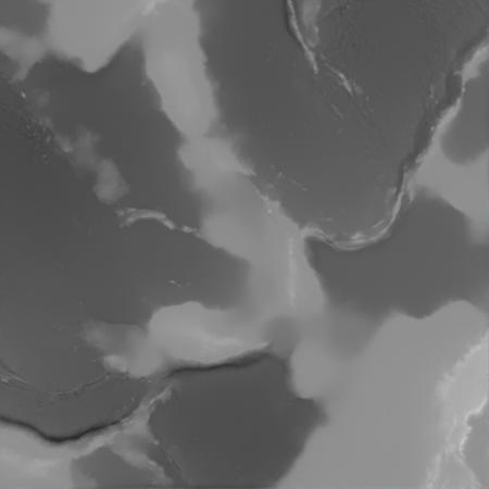
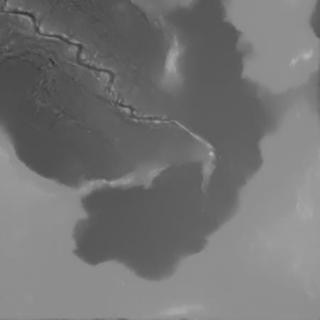
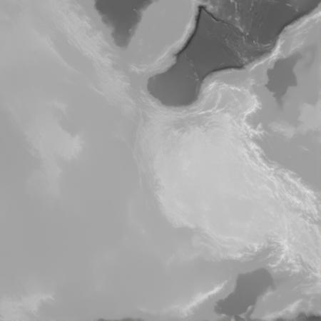
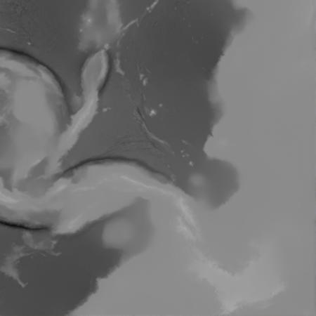
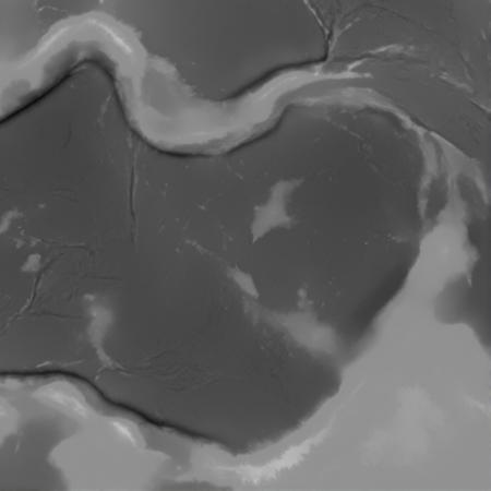
An attempt to output grayscale 8bit DEM from flux.
GEBCO 2022 Grid covering the entire Earth was used.
v9 is a vast improvement from the old versions.
Spreading centers, subduction zones, mountain ranges, all good.
Weight=1.7. Less for oceanic. More for continental.
Best with dedistilled FLUX-dev checkpoints.
Otherwise, you will get low-fidelity output.
描述:
Better topographic expressions.
训练词语: A grayscale image. A 5000 km wide demflux topographical relief map showing the area which consists of continents and ocean basins. The image is in extremely high resolution and crispy. The detail of the image is immense. The overall composition is bold and dynamic, but not cluttered. Various curvy features are the theme of the image and are elegant. There are trenches and spreading centers in the ocean basins. Several mountain ranges in the continents.
名称: demflux_v9_000034000.safetensors
大小 (KB): 167939
类型: Model
Pickle 扫描结果: Success
Pickle 扫描信息: No Pickle imports
病毒扫描结果: Success
原文链接:https://1111down.com/1168402.html,转载请注明出处